Welcome, Kapamilya! We use cookies to improve your browsing experience. Continuing to use this site means you agree to our use of cookies. Tell me more!
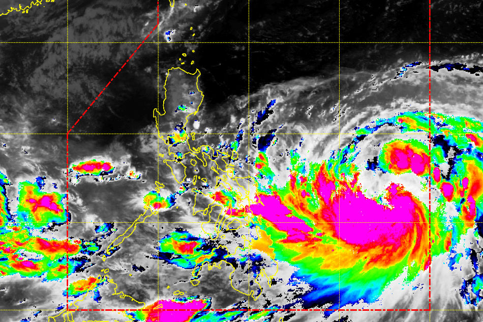
This satellite image from PAGASA shows severe tropical storm Paolo east of the country and a low pressure area in the west.
MANILA (2nd UPDATE) - Tropical cyclone "Paolo" has intensified into a typhoon early Wednesday and is poised to bring rains over most of the country, state weather bureau PAGASA said.
In its 5 p.m. advisory, PAGASA said Paolo was last spotted 910 km east of Legazpi City, Albay. It was packing sustained winds of 120 kilometers per hour and gusts of 145 kph.
The outer rain bands of the typhoon will bring moderate to occasionally heavy rains in Bicol region, Eastern Visayas, Zamboanga peninsula, ARMM, and Soccsksargen, as well as light to moderate rains in Metro Manila, Calabarzon, Mimaropa, the rest of Mindanao and Visayas.
No tropical cyclone warning signal has been raised so far in any of the affected areas. PAGASA earlier said Paolo was unlikely to make landfall.
ADVERTISEMENT
The typhoon is predicted to leave the Philippine area of responsibility early Sunday, if it continues moving north northwest at 16 kph, PAGASA said.
Meanwhile, a low pressure area meanwhile was tracked 335 kilometers west northwest of Puerto Princesa City, Palawan. It will bring cloudy skies with scattered rains in the province, the weather agency added.
ABS-CBN is the leading media and entertainment company in the Philippines, offering quality content across TV, radio, digital, and film. Committed to public service and promoting Filipino values, ABS-CBN continues to inspire and connect audiences worldwide.
Our website is made possible by displaying online
advertisements to our visitors. Please consider supporting
us by disabling your ad blocker on our website.
Our website is made possible by displaying online
advertisements to our visitors. Please consider supporting
us by disabling your ad blocker on our website.