Welcome, Kapamilya! We use cookies to improve your browsing experience. Continuing to use this site means you agree to our use of cookies. Tell me more!
New DENR office formed to create physical baseline of PH natural resources
New DENR office formed to create physical baseline of PH natural resources
Job Manahan,
ABS-CBN News
Published Jun 27, 2023 04:18 PM PHT
|
Updated Jun 27, 2023 05:00 PM PHT
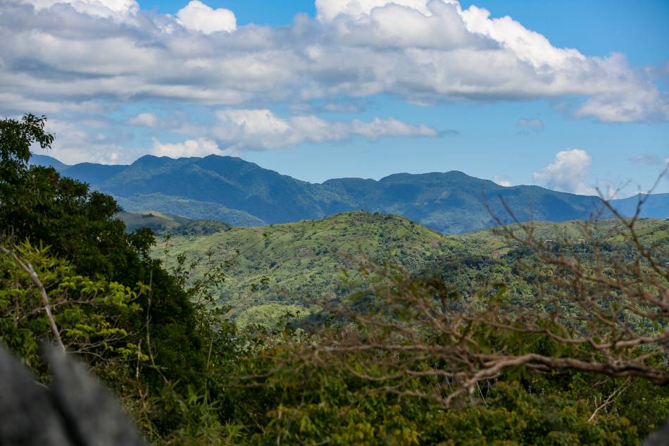
Photo shows limestone formations at Masungi Georeserve located at the southern portion of the Sierra Madre mountain range in Baras, Rizal taken on February 24, 2023. Jonathan Cellona, ABS-CBN News
MANILA — The Department of Environment and Natural Resources (DENR) has created a new office to physically map the country's available natural resources, Secretary Toni Yulo-Loyzaga said Tuesday.
Loyzaga said she presented an overview of the DENR's Geospatial Database Office (GDO) to President Ferdinand Marcos, Jr. during the sectoral meeting earlier in the day.
GDO identifies the available actual surface water sources, forest cover, and land management through surveillance and the use of "certain softwares," the DENR chief said.
"It would be essential to manage our natural resources through establishing a physical baseline, kung ano po ang nandidiyan in terms of our natural resources in order for them to be accounted for, to be valued properly and to be managed properly," Loyzaga told Palace reporters.
ADVERTISEMENT
"Iyong geospatial database po ay gumagamit ng mga satellite imagery and other tools to process kung ano po ang nandidiyan for example, nasaan po ang river basins natin? What is the flow of those river basins?" she added.
This office, currently manned by 10 personnel, was formed shortly after she was appointed last year and has been operational since January this year.
"What that also allows us to do is, given climate change projections... What we are able to do now is designed our infrastructure angkop doon sa rainfall change na ina-anticipate ng mga scientists," the official said.
"So in terms of the ability of this office to detect kung nandidiyan ba iyan or hindi, that’s the principal value of this office. By using certain software, we can also anticipate how much carbon, for example, ang puwedeng ma-sequester given the species na nandidiyan sa different forest cover. So in terms of climate change and disasters, talaga po iyong forests are kailangan," she added.
The DENR chief said they were using the agency's current budget for this year, and declined to say how much they would be requesting allocation for this in the government budget for next year.
GDO has been coordinating with the Philippine Space Agency for the use of satellites and surveillance, she noted.
ADVERTISEMENT
"I think, mahal in terms of iyong ginagamit is the use of the satellite imaging, kung papaano siya ipu-procure," she said.
"But because we have a Philippine Space Agency, nagagamit po namin iyong anong mayroon sila ‘di ba. So, at this point, walang extra outlay ang GDO; basically tao lang ang budget," she added.
As of 2020, Philippines has more than 7.2 million hectares of forest cover, the DENR said.
Forestry contributes to the country through exports. In 2021, the agency the country was able to produce 827,000 cubic meters of logs and 138,000 cubic meters of lumber.
ABS-CBN is the leading media and entertainment company in the Philippines, offering quality content across TV, radio, digital, and film. Committed to public service and promoting Filipino values, ABS-CBN continues to inspire and connect audiences worldwide.
Our website is made possible by displaying online
advertisements to our visitors. Please consider supporting
us by disabling your ad blocker on our website.
Our website is made possible by displaying online
advertisements to our visitors. Please consider supporting
us by disabling your ad blocker on our website.